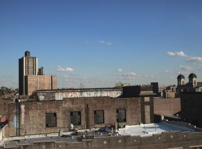
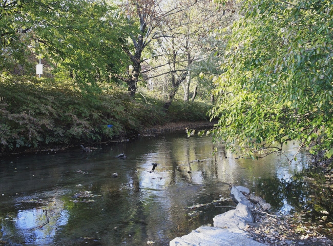
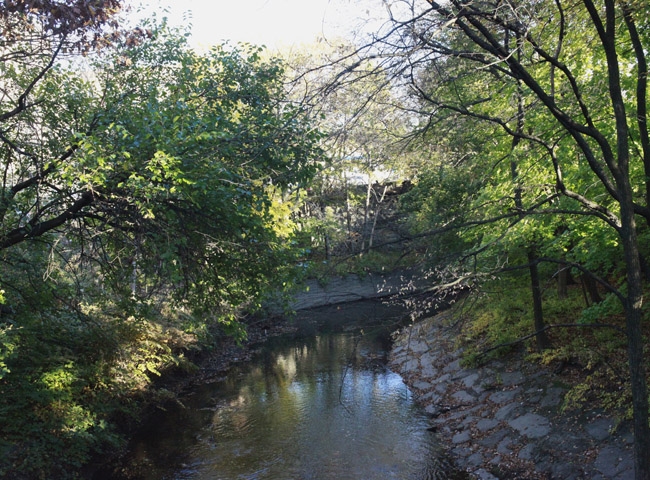
November 16, 2010 — The Bronx River is a testament to the urban planning and architecture of New York. It is a geographical formation that has been manipulated over the years to serve industry, infrastructure, and recreation. The Gun Hill Road area of the Bronx, where a length of the river was straightened during construction of the Bronx River Parkway, represents city and nature side-by-side. The question is: "what kind of dialogue is going on between the two?"
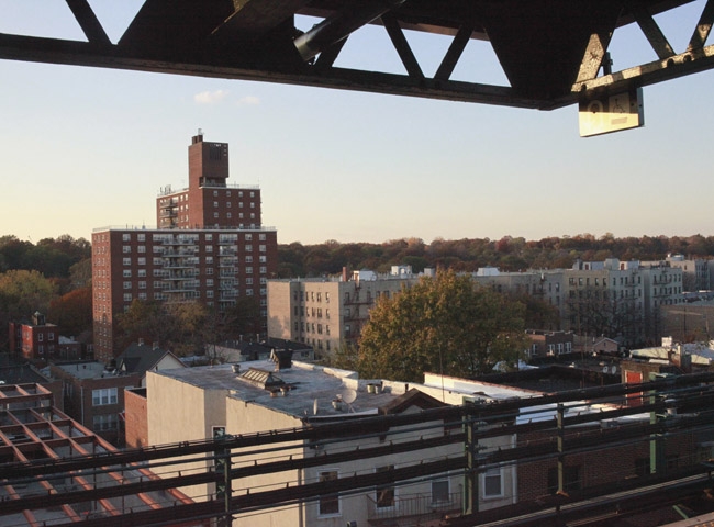
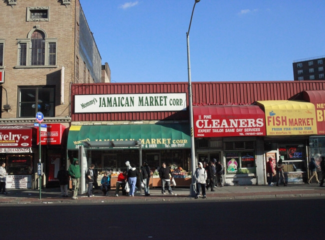
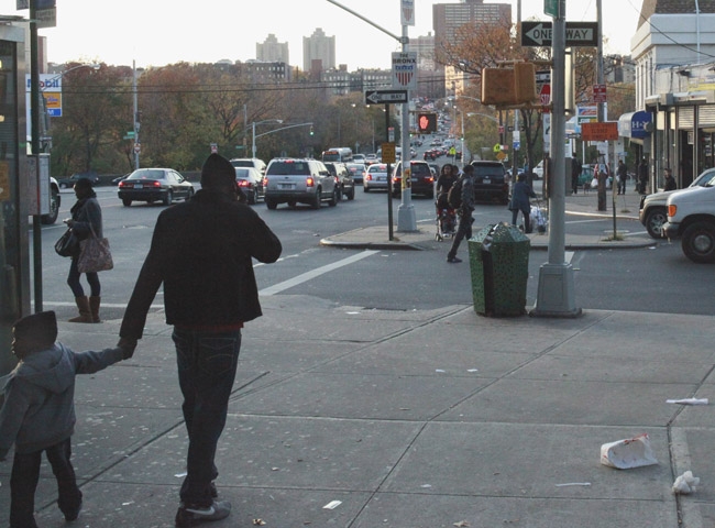
The river reflects more recent restoration and renewal, and runs quietly beside the whirring sounds of the parkway. In stark contrast, the busy markets and packed sidewalks of White Plains Road, only three blocks east, signal a highly urban setting. The two environments co-exist with no physical barriers dividing the two, yet the scope of interaction is unclear.